
Dhaka has reached its present state by undergoing different rulers of diverse cultures, wide range of governance practices, natural catastrophes, administrative variations, and many other fluctuations. Till the end of the sixteenth century, Dhaka had a rural settlement. The growth of Dhaka city started from the south and continued to extend toward the west and north during the Pre-Mughal period. From 1947 to 1989, the development progressed rapidly in all directions and mostly toward the north. Due to this, all low lying lands in the east and west were filled up and settled on. As the population pressure began to increase, the highlands toward the north also began to be settled very rapidly but until now no proper initiative has been taken to establish a planned city.
According to Dhaka Metropolitan Development Plan (1997) the following are the planning initiatives that have been taken. In the Dacca Town Planning Report (1917), Dhaka was divided into zones that provided a summary for improvement of the old town area with colonial offices and residential buildings. It was never adopted officially or no efforts were made for its implementation. East Pakistan Planning Sub-Committee (1948) was created for expansion of the existing city but it lacked formal background studies of the past or existing situation. It recommended upgrading of roads, new road constructions, new residential areas, an industrial area, a shopping centre and hotel development and had a partial proposal for residential facilities. The Dacca Master Plan (1959) established planning principles rather than laying down a complete and integrated system. In 1981, Dhaka Metropolitan Area Integrated Urban Development Project proposed a long term growth strategy for the urban expansion, and the storm water drainage of Dhaka metropolitan area to solve the flood problems. Going further, the Dhaka Metropolitan Development Plan (1995 – 2015) offered a structural plan, that has four major parts: Strategic growth options, structure plan, urban area plan, and detailed area plan. It provided a long term strategy for twenty years for the development of a greater Dhaka region.

Despite all planning initiatives to control the haphazard growth, the landscape of Dhaka city is experiencing continuous changes due to impromptu and hasty urban sprawls. Though the city is blessed with a large number of water bodies, which include rivers, khals, lakes and flood plains, low-lying areas and so on, they are being filled up ruthlessly. The changes in water bodies between the pre and post-urbanisation have been very alarming. There is a decrease of more than 49% of the wetland areas over the period 1960 to 2008 in the city. The alterations of wetland areas in the South-Western fringes extend towards Mirpur, Muhammadpur and Pallabi-Cantonment areas. These were filled mostly for new housing developments. Fragments of Gulshan and Dhanmondi lakes, some channels of Motijheel areas have also reduced significantly. Recently, the expansion is increasing towards the northern bank of Buriganga and enclosed by Turag in the West, Tongi khal in the North and Balu River in the East. These areas are mostly encroached for developing new housing projects, industrial zones and other facilities.
This unplanned growth by land grabbing and filling of water bodies are resulting in the obliteration of natural drainage systems, causing water-loggings during rainy season in various part of the city. Additionally, as the rivers and waterbodies are losing their capacities gradually, it is threatening the biodiversity of the riverbed and city dwellers living nearby. The increase in polluting runoffs from industries, and households as well as other wastes have also created a profoundly negative impact on the rivers flowing slowly around Dhaka city.
The rivers and water bodies surrounding Dhaka that once was an advantage for the city and essential for the survival of the mega-city, are turning into the cause of misery for the dwellers. These rivers once provided some unparalleled services to the citizens, including a drainage system, drinking water, source of food, and also transportation, but now the waterways are clogged as a result of greedy land grabbing. The water is so polluted that it cannot be used for any purpose, neither for transportation nor as surface water.
Kaika & Swyngedouw (2011) in The Urbanisation of Nature: Great Promises, Impasse and New Beginnings explains a profound conceptual planning scheme together with major reassessment in political decisions can be a fitting solution to improve failing socio-ecological conditions. Nevertheless, these conditions alone cannot solve this growing problem. The government together with the planning administrations, economists, environmentalists and common people have to work together for a sustainable society.
Each individual owner of the newly manufactured lands out of water in Dhaka is an accomplice of the great disappearance of wetlands of the city. If one is even remotely connected to the conception, planning, development, selling, purchasing and usage of these lands, he or she may consider themselves as a contributor to the problem of water clogging in the streets. We need to think twice before joining hands in the vandalizing of wetlands.
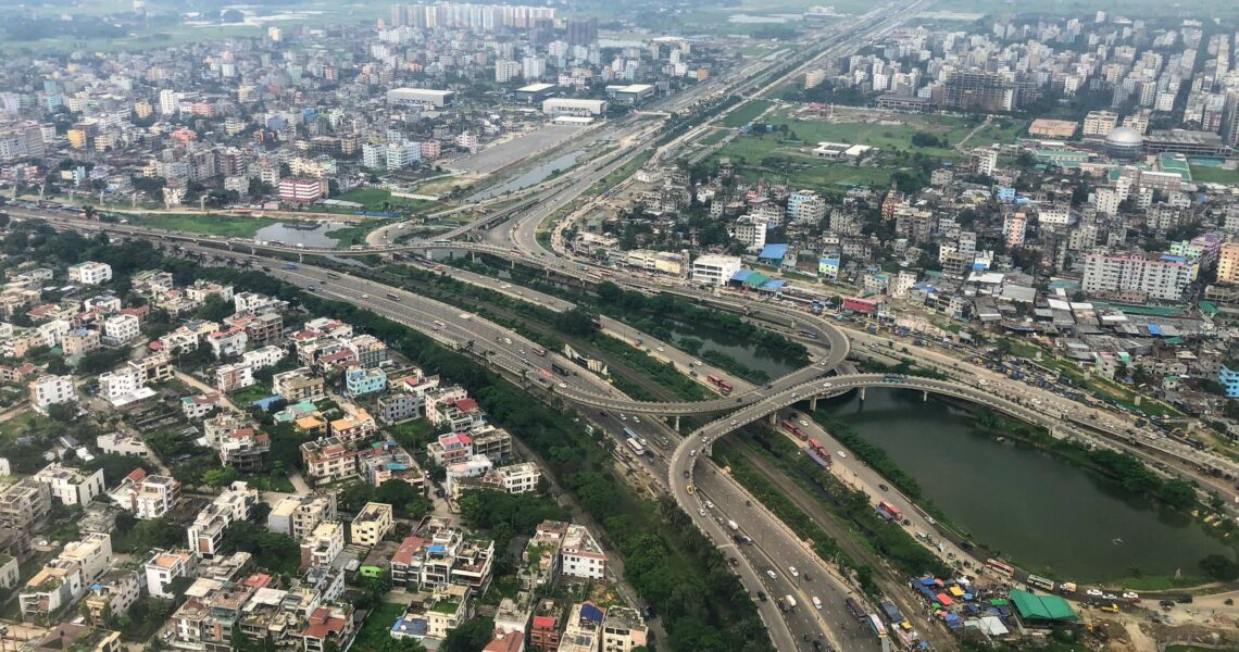
Featured image: Dhaka – Aerial shot near Bissho Road fly-over, Photo: Mohammad Tauheed, CC BY-NC